


Southland has 35 Catchment Groups, forming a network covering over 90% of the Southland region, and this network is expanding rapidly. View the map below to see your region, or scroll down to find out about the Catchment Groups.
Follow this link to the Environment Southland GIS Services website and search by your address to find the name of your local Catchment Group, or the Group closest to you.
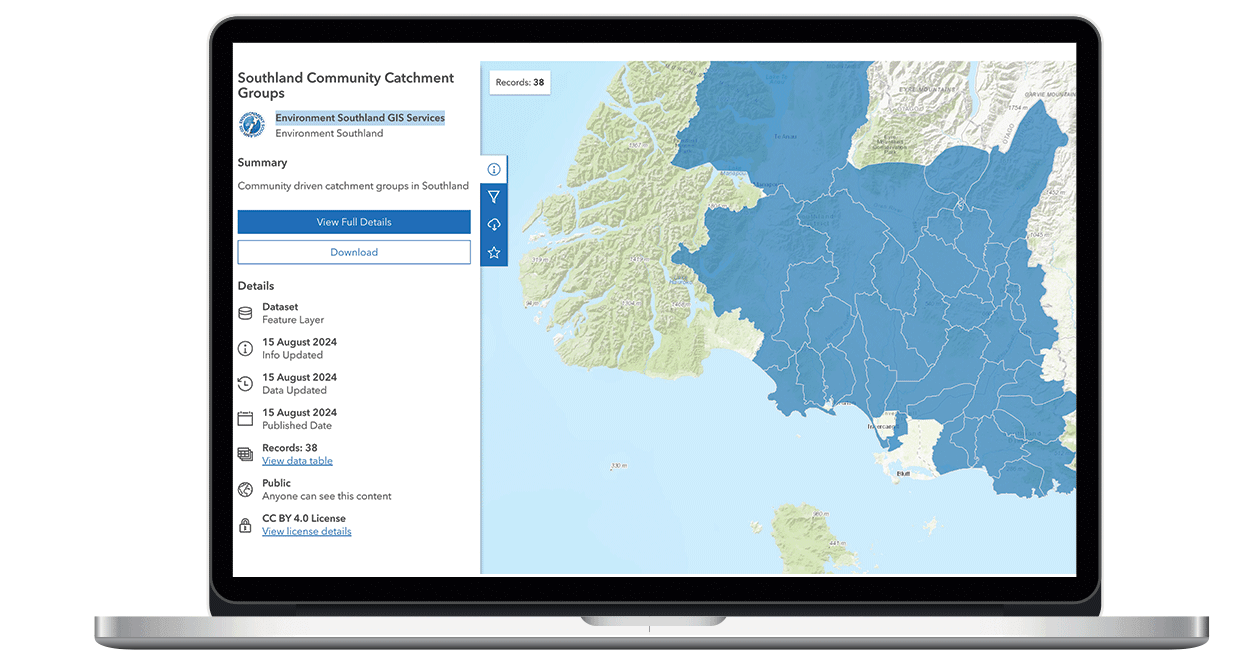
Scoll down to see the full Catchment Group map.
CLICK IMAGE ABOVE
TO LEARN MORE
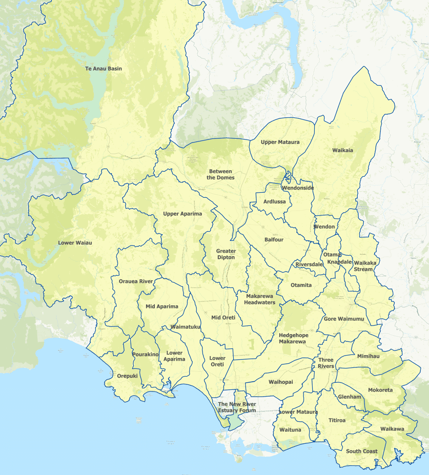
Map updated October 2023. Catchment groups define their own boundaries. If you spot a boundary that's not quite right, please send us a picture with the correct boundary line drawn on a map and we will get it updated as soon as possible.

Thriving Southland is a community-led group with a vision to create a prosperous Southland, healthy people, healthy environment from the mountains to the sea.
View Privacy Policy HERE
CONTACT US
25 Don Street,
Invercargill 9810