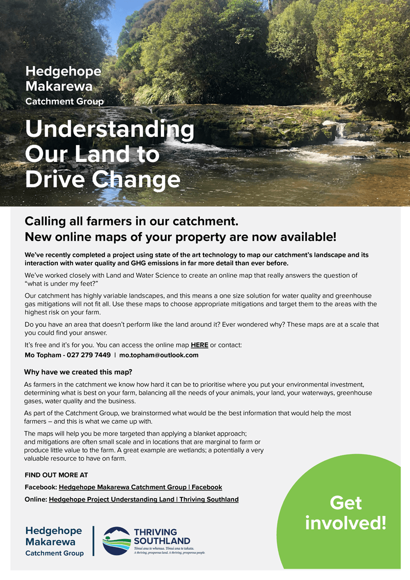
Understanding the Land to Drive Change
Catchment Group:
Project:
Understanding the Land to Drive Change
Funding:
$132,920 excl. GST
Period:
Mar 21 to Jun 22
Project Description
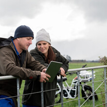
Working alongside Land & Water Science, the Hedgehope Makarewa Catchment Group uses science and local knowledge to understand how variation in landscape characteristics drives water quality outcomes.
Using radiometrics to create high-resolution hydrological layers helps landowners understand their catchment and develop practical solutions to meet upcoming regulatory changes.
Objectives
- Support members of the Hedgehope Makarewa Catchment Group to understand how variation in landscape characteristics drives water quality outcomes.
- Empower Catchment Group members to contribute to the scientific understanding of the catchment, through local knowledge of soils, climate and geology, fact-checking and ground-truthing.
- Deliver scientific outputs that are useful and accessible to land users.
- Provide a spatially refined dataset to support the triaging of community efforts and investment to mitigate risk to water quality. The dataset needs to be cognisant of the relationship between land use, landscape variability and water quality, and pragmatic from a farm operations and farm systems standpoint, while reflecting the values and aspirations of the community.
Outcomes
- Getting the information to farmers, growers and landowners through an online tool that aids them in making future environmental decisions with good science they understand and have confidence in.
- Identifying and understanding the flow path of nitrogen, phosphorus, sediment and microbes from the landscape to waterways and the correct mitigations that give the best effect at the least cost.
