Understanding and Improving Catchment with Wetland Development
Catchment Group:
Project:
Understanding and Improving Catchment with Wetland Development
Funding:
$65,700 excl. GST
Period:
Sept 21 to May 22
Project Description
This project comprises of three workstreams:
- Catchment Landholder Survey
As a relatively new Catchment Group with high diversity of land use, Between the Domes is yet to achieve full engagement with landholders, land managers and the residents of Lumsden and Mossburn. A draft survey has been developed that will be used to establish key contacts for the 135 landholders/managers, and some baseline information in regard to the property, land use, waterbodies, wetlands, riparian vegetation, flora and fauna, and nutrient management. The survey will be carried out on the phone by locals who are familiar with the catchment and with farming. - Working with wetland experts from National Institute of Water and Atmospheric Research (NIWA) to provide a catchment overview that will help identify areas of focus
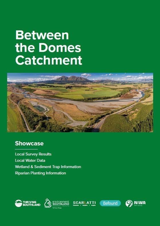
This task includes looking at restoration of existing wetlands, establishment of new strategically located small to medium scale wetlands or mitigations and small-scale wetlands or edge-of-field mitigations dealing with tile drains and paddock sediments. - A Between the Domes catchment booklet that will provide a coherent overview on the catchment and its features in relation to land and water.
This booklet will provide people living and working in the catchment with a point of reference to lift their understanding of the catchment and to serve as a baseline status report for the community.

Objectives
- The Survey will provide an opportunity to deeply engage with catchment landholders, boost the profile of the Catchment Group and get the right people from each property onto a mailing list. It will also provide an accurate base line of the current attributes of the catchment both in land use and environmental features.
- The NIWA work will provide a clear plan to assess wetlands and to identify other edge of field mitigation options to reduce sediment and nutrient loss to local streams and the Oreti River. This allows for targeted initiation of pricing, consenting and installing wetlands and other mitigations to meet catchment environmental objectives.
- The catchment booklet resource provides another point of connection with those in the catchment who are on the fringes of engagement. It also has the potential to help the Between the Domes Catchment Group prioritise their efforts over the next decade.
Outcomes
- The survey has pulled together a database of landholders and operators and an understanding of the catchment and its current state.
- Use the expertise of NIWA and local farmers to locate and design wetlands as well as to create sediment/nutrient capture structures for the most cost-effective environmental effect.
- Produce an electronic and physical booklet detailing the catchment
________

